Cycling
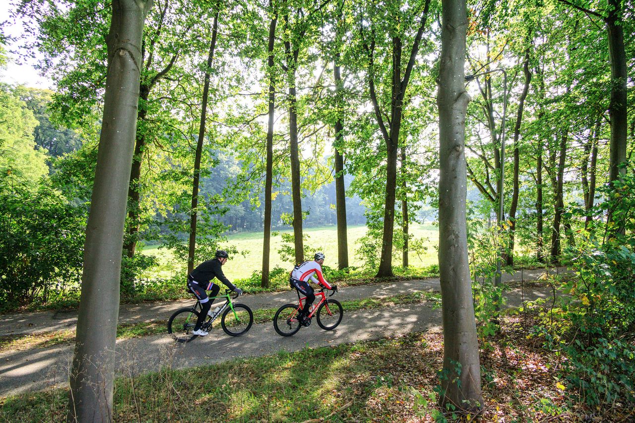
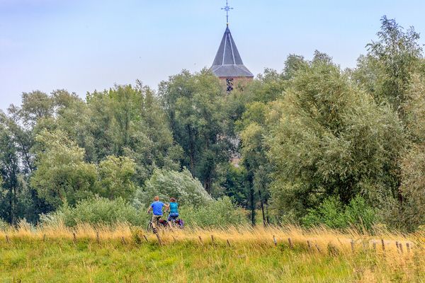
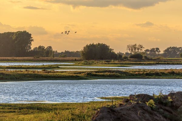
One of the best things about cycling in Arnhem region is, other than the kilometres of separated bike lanes, the sheer diversity of the landscape. After cycling through woodlands and over moraines, you can suddenly encounter wide, open views across marshes and heathland or find yourself on a riverside dike. A perfect way to enjoy nature in all its glory. Of the 35,000 km of cycling network of cycle paths, 5,000 km are in the province of Gelderland. Enough opportunities to get in the saddle!
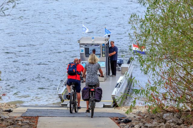
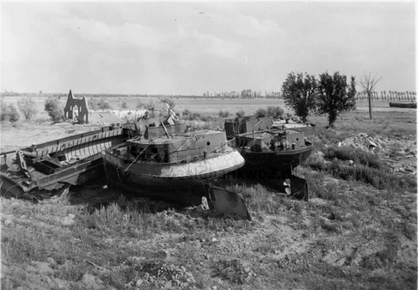
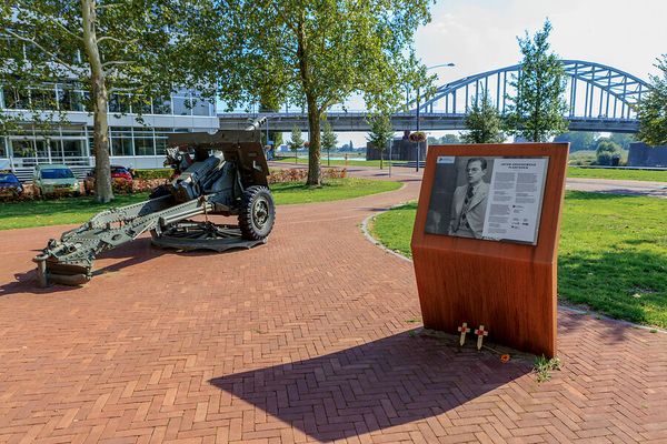
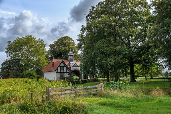
Choose from stately country estates and castles, metropolitan villas, undulating heathlands or rural water meadows. Do you prefer to follow in the footsteps of the allied forces in the final year of the Second World War along the Liberation Route? There is even an app which tells you stories about the surrounding area. In De Liemers you will cycle along dikes that seem to have been made especially for endless bike rides. And if you want to cross the river, take the ferry route: a moment to catch your breath as you relax and enjoy the gentle ride.
Bike routes
How it works: Cycling junctions
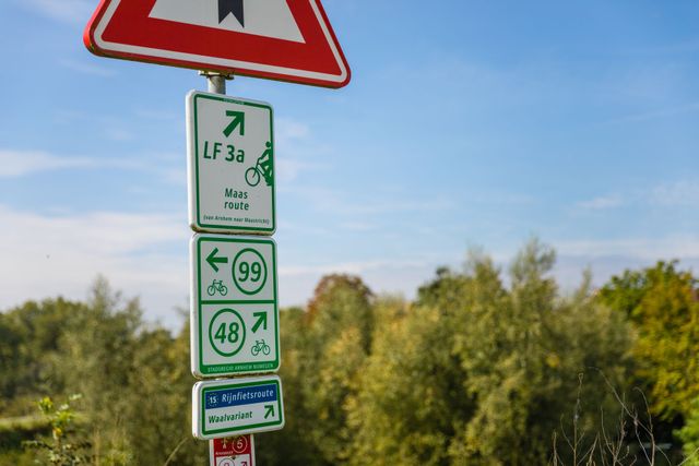
To follow a route based on cycling junctions, first locate the junction where you want to start on the map. Take note of the number of this junction. Then, determine the junction you want to reach and also note its number. Along the way, simply follow the signage on the bike paths to the next junctions, which are marked with signposts. Follow the numbers in the correct sequence until you reach your desired endpoint. You can decide to alter the route and change direction at any junction.
Plan your own cycling route
Would you like to plan your own bike route online in the Arnhem region? You can easily do so with our cycling route planner! Whether you're riding a regular bike or a racing bike, using the bicycle junction network, you can easily determine your own route and distance. Check the map, choose your starting point, and create your own beautiful bike routes. View the bike planner below, on a large screen, or learn more about how planning based on bicycle junctions works.
