Water as a Weapon – Driel
Water as a Weapon – Driel
In October 1944 the German troops decide to flood a large part of the Dutch-German border area to avert an attack from the Allies.

Two cycling routes along old tracks
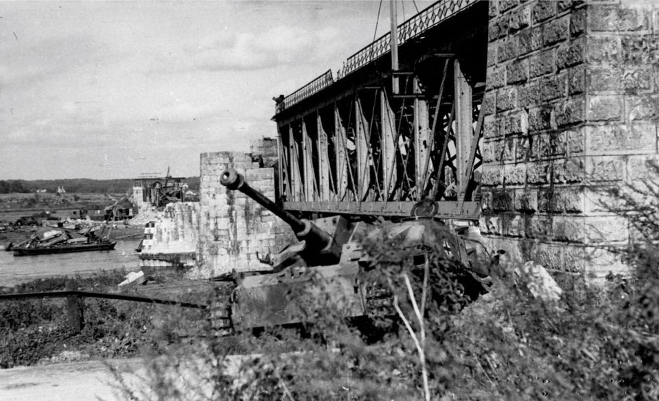
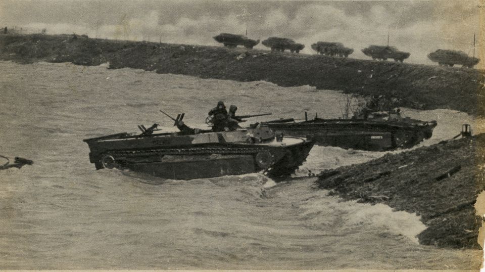
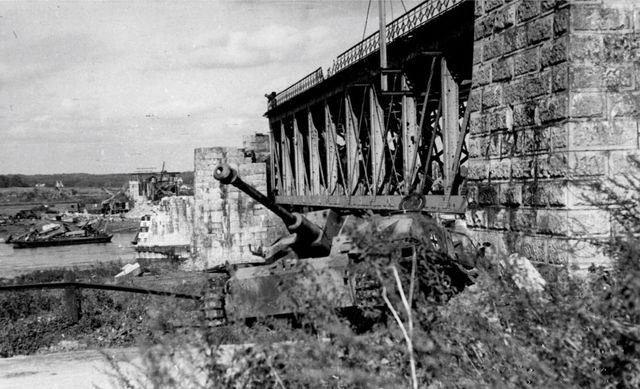
In October 1944 the German troops decide to flood a large part of the Dutch-German border area to avert an attack from the Allies. In December 1944, when the water in the Rhine is at a high, German soldiers use heavy explosives to make a hole in the dyke in Driel. Their actions cause a huge flood which has grave consequences for the people living there, the warring factions and a few barge owners. In early February of 1945, dykes in the vicinity of Kleve in Germany are blown up, but, fortunately, do not stop the Allied advance. There are two locations with information panels about water being used as a weapon. Go to www.liberationroute.nl for more information and the accompanying audio stories (L89: Water as a weapon Rindern; L67 Water as a weapon Elden).
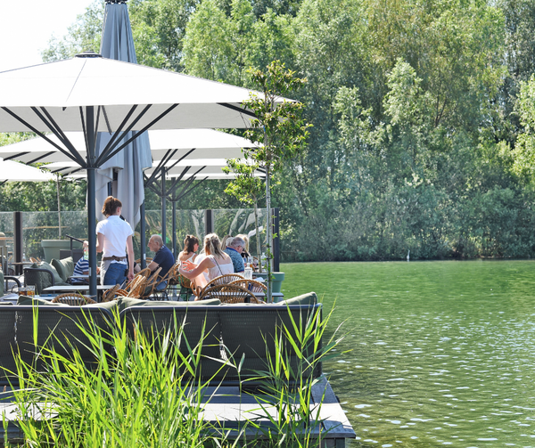
Driel | Elden - Doornenburg
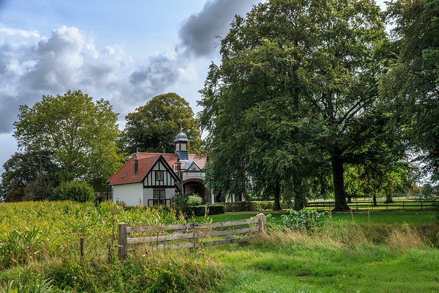
The Information Centre ‘De Polen van Driel’ is the starting point and ending point of this route. It highlights the battle of the 1st Polish Independent Parachute Brigade that fought here during Operation Market Garden. Across the street from the Information Centre, you will find L19: The Poles of Driel.
Cycling along the dyke in Driel, with a beautiful view of the Rhine, you arrive at L67: Elden (located between junctions 27 and 28). This is where German soldiers blew a hole in the dyke to flood the Betuwe to prevent the Allied advance. In one of the stories, an inhabitant of the Betuwe tells about the major consequences of this flooding. The impressive castle of Doornenburg, which is also the link between the two cycle routes, is located at junction 77. Take a break from your bike and roam the freely accessible outer castle, which was held by the Germans during the Second World War. L43: Destruction and Sorrow is located here. From the castle, you cycle from junction 77 to 98 over the Goudsbloempath (Marigold Path). The marigold symbolises the suffering of civilians in wartime, and the path follows the German line of defence. Elst (L31) and its surroundings were under heavy fire at the beginning of October 1944. Defensive German troops and advancing Allies fought hard. The muddy open terrain and high water level made it difficult to advance and take cover. The tower of the Great Church of Elst was set on fire. The strategic Linge bridges are fiercely fought over. At the end of 1944, the Germans flood a large part of the region.

- Distance
- 42 km
Locations on this route
- 17
- 18
- 20
- 19
- 21
- 33
- 26
- 59
- 27
- 87
- 28
- 31
- 7
- 2
- 01
- 30
- 66
- 67
- 75
- 76
- 77
- 77
- 92
- 98
- 26
- 30
- 29
- 16