Liberation Route Arnhem
Liberation Route Arnhem
There was a lot of fighting in the Arnhem-Wageningen area during the Second World War. The failed Allied operation Market Garden cost thousands of lives in September 1944.
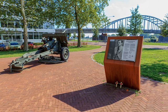
On this route, you partly follow the Rhine and cross the river at the John Frost Bridge in Arnhem, which is also popularly called the ‘Bridge too Far’, after the famous film that was made about the battle between the Germans and the British. The latter wanted to conquer the bridge in September 1944 but did not succeed. Along the route, you also pass some of the landing areas where the paratroopers landed in September 1944. Thousands dropped simultaneously and were partly under enemy fire while doing so. At one of the so-called Liberation Route Europe listening spots, you can hear more about it. There are various landmarks on this cycle route. For an overview of the listening points, go to www.liberationroute.eu.

- Distance
- 42 km
Sights on this route
Starting point
Parkeerplaats Planken Wambuis
Planken Wambuisweg 1
Ede
Navigate to starting point
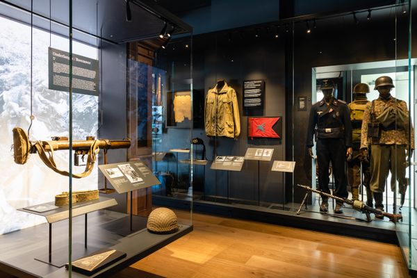
Airborne Museum at Hartenstein
Come and experience the Battle for Arnhem in this attractive and contemporary museum. In the Airborne Experience you will follow in the footsteps of British paras and set off towards Arnhem in September 1944.Read more


- 12
- 70
- 97
- 45
- 44
- 38
- 39
- 52
- 94
- 41
- 54
- 36
- 35
- 29
- 86
- 28
- 87
- 27
- 59
- 53
- 37
- 09
- 07
- 82
- 84
- 85
- 12
