Hiking
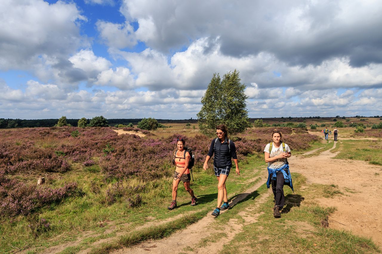
Hiking in Arnhem region is splendid: rolling hills and a varied landscape that stretches as far as the eye can see. A diversity of woodlands, heather fields, sandplains, lakes and rivers. It’s a place to find peace and tranquillity, but you can also learn more about the area’s unique cultural heritage. In other words, it’s a walker’s paradise.
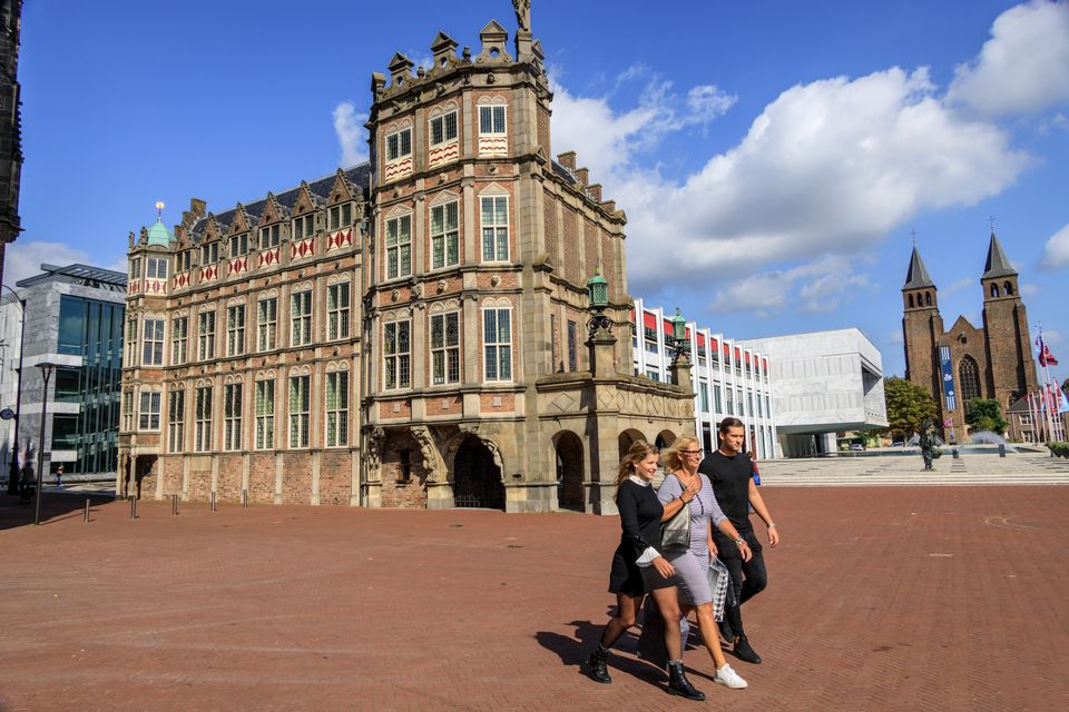
City Walk Arnhem
This historical City Walk Arnhem will take you along some of Arnhem's most impressive historical buildings and places, which will certainly give you new impressions. You will get to know Arnhem and its rich history better! Along the way you will find several listening locations of the Liberation Route Europe, where you can listen with your smartphone to stories about what happened at that location during the Second World War. If you want to know more about the Battle of Arnhem and Operation Market Garden, this city walk is highly recommended!
Discover all hiking trails
-
City Walk Arnhem
City Walk ArnhemFeatured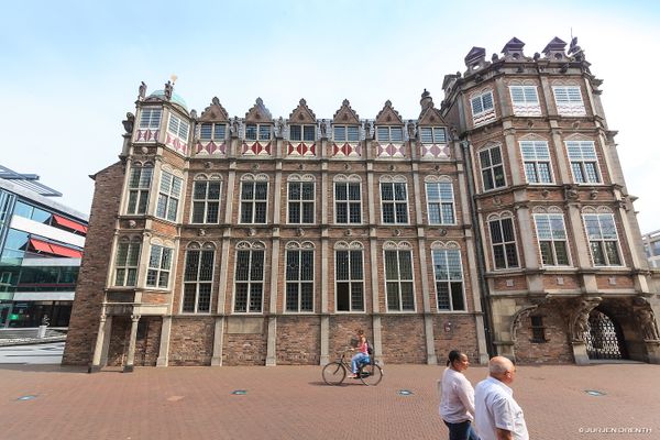 (4 km)
This 4 km long city walk takes you along the impressive historical buildings and places that Arnh...
-
Ede drop zone
Ede drop zone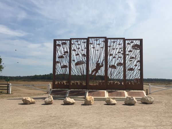 (8 km)
This route takes you past monuments commemorating, and information panels with stories about, eve...
-
Walking through Arnhem
Walking through Arnhem (5.4 km)
Discover the most beautiful places of Arnhem by walking this city walk.
-
Perimeter route
Perimeter route (7.9 km)
The perimeter was a horseshoe shaped defense line around Oosterbeek in which the Britsh and Polis...
-
Airborne City Tour Arnhem
Airborne City Tour Arnhem (6.7 km)
This walk takes you through the centre of Arnhem and makes the Battle of Arnhem (September 1944)...
-
The Poles of Driel
The Poles of Driel (6 km)
This is a hike along important milestones in and around the village of Driel where the 1st Polish...
Hiking in the Airborne Region
Would you like to learn more about Operation Market Garden? Take part in one of the four specially developed walking routes in the Airborne Region. While walking you will discover the (local) stories behind Operation Market Garden. Try the four paths in Driel, Oosterbeek, Ede and Arnhem and walk past monuments and places of interest related to this operation. Want to know more? Then continue reading and discover the story behind the Airborne Region.
Plan your own hiking route
Would you like to plan your own hiking route online in the Arnhem region? You can do this with our hiking route planner! Whether you prefer short walks or longer distances, you can easily plan your own route and determine the distance using choice points. Take a look at the hiking planner below or view it on a large screen. If you prefer to use a physical hiking map, then visit our citystore in Arnhem.
How it works
On the hiking networks within the Arnhem region, you can easily combine routes using choice points. Choice points are marked with a unique letter-digit combination. They are located at locations where different routes intersect. At a choice point, you can continue your current hiking route or switch to a different one. From a choice point, you only need to follow the color or symbol of your (new) route. For example, if you want to walk a section of a green trail and a section of a red trail, remember the choice point where green and red intersect. First, follow the green arrows, change routes at the choice point, and then follow the red arrows.